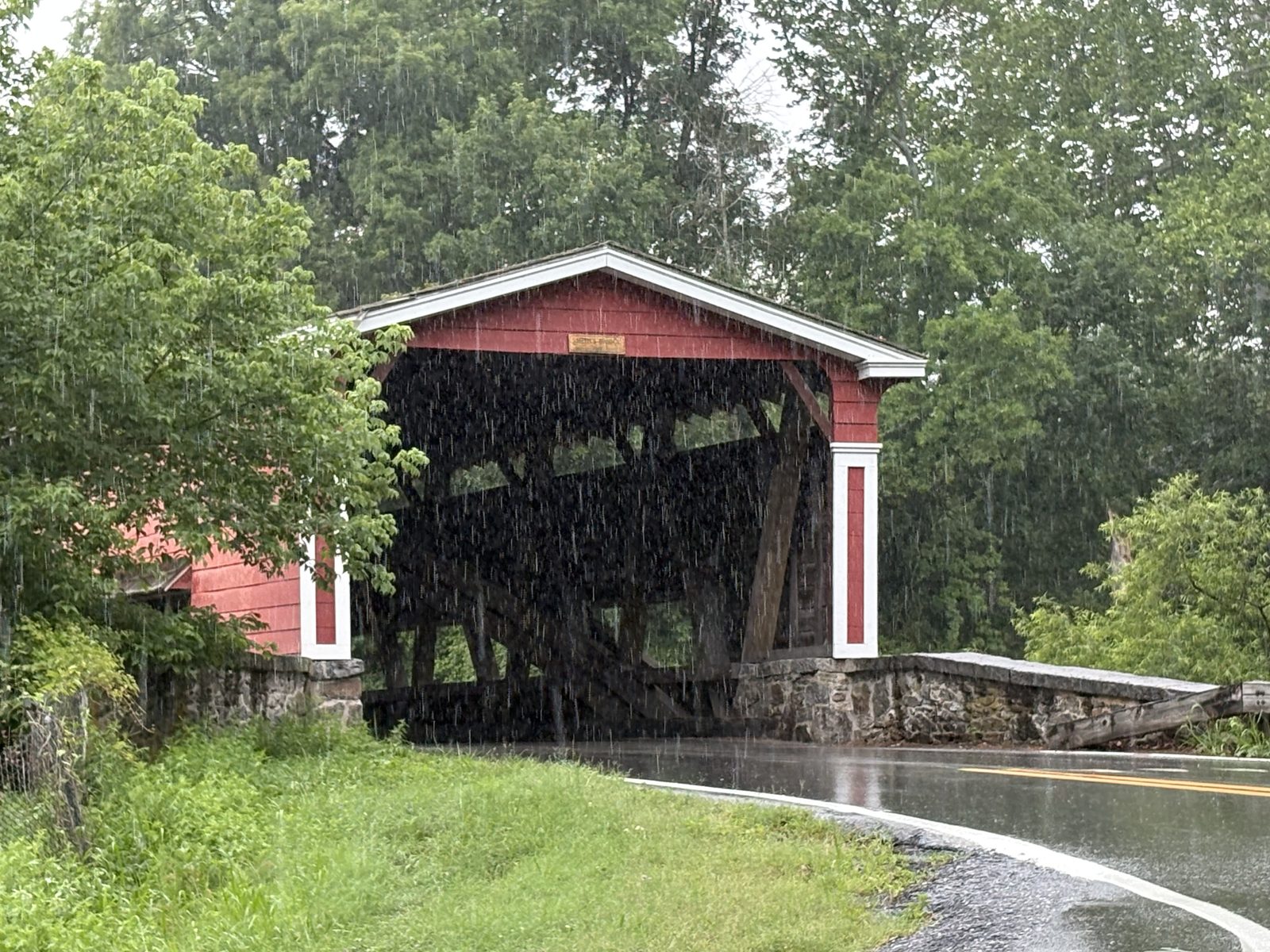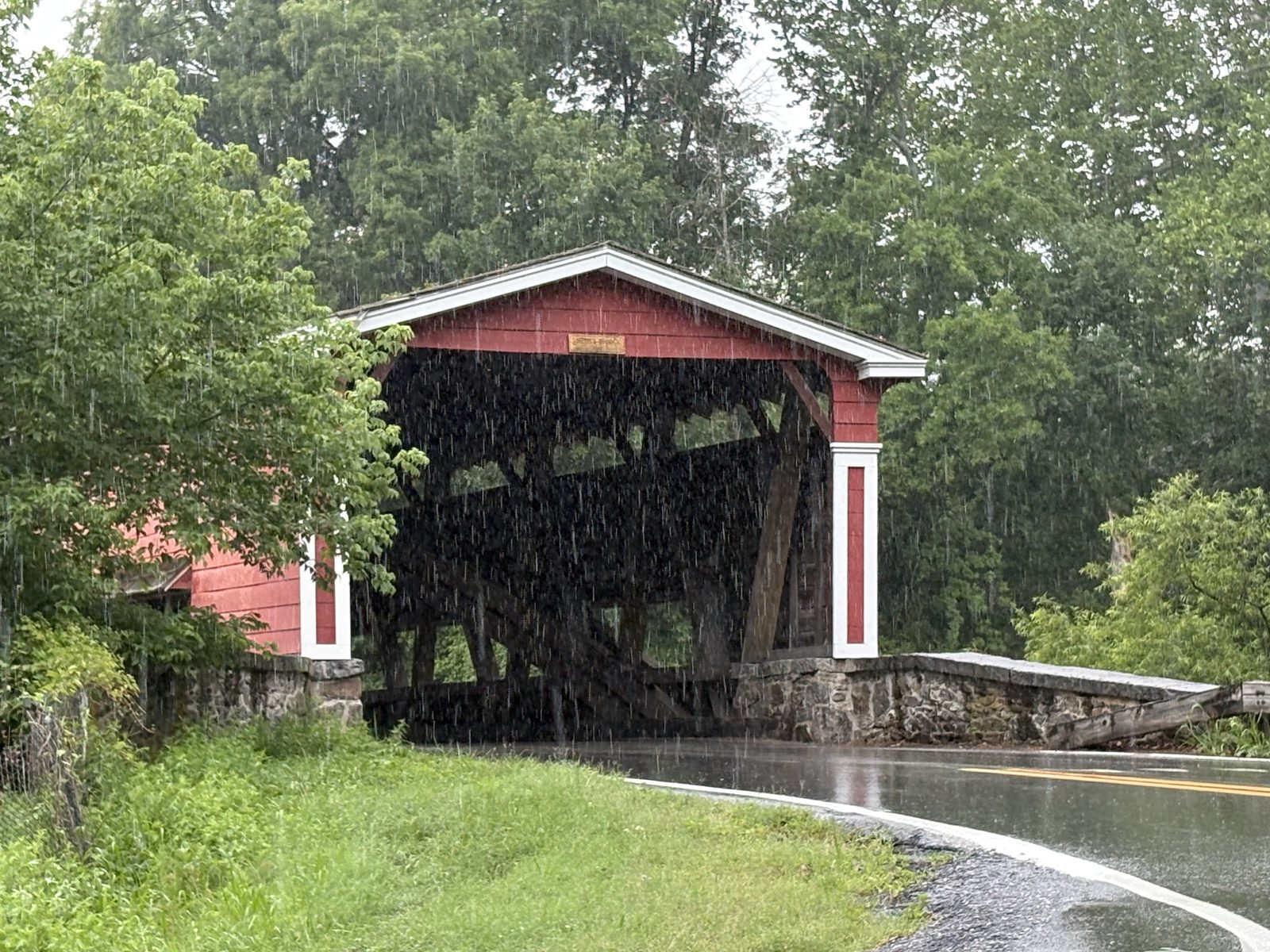
Smith’s Bridge crosses Brandywine Creek where the state line’s twelve-mile arc — the “circular line” — meets the water between Birmingham Township, Pennsylvania, and Brandywine Hundred, Delaware. Mills stood here before the family did: the deed by which the Smiths bought the property recites a mortgage on the tract dating to 1768. The Smiths held the mill seat for sixty-three years, three bridges took their name, and the present covered span — a 2002 replica — still carries it.
1794The Purchase
On 27–28 March 1794, Thomas Gibson and Hannah his wife conveyed to William Smith of Brandywine Hundred and Jacob Smith of Birmingham Township a plantation of 150 acres straddling the circular line, described in the deed as having “a Water born Mill or Grist Mill and Saw Mill thereon erected… on the Northerly side of Brandywine Creek,” beginning at the mouth of Beaver Creek. The purchasers mortgaged the property the same day to Caleb Brinton of Birmingham — $1,200 owed in Spanish milled silver dollars, “not in any paper money.”
William Smith died intestate in 1800; his estate accounts record a “partnership account” with Jacob Smith, settled in 1801. By Jacob's will of 1841 the farm and mills — “about one hundred and eight acres” bounded by Brandywine Creek — passed to his son Isaac Smith, who was already occupying and operating them.
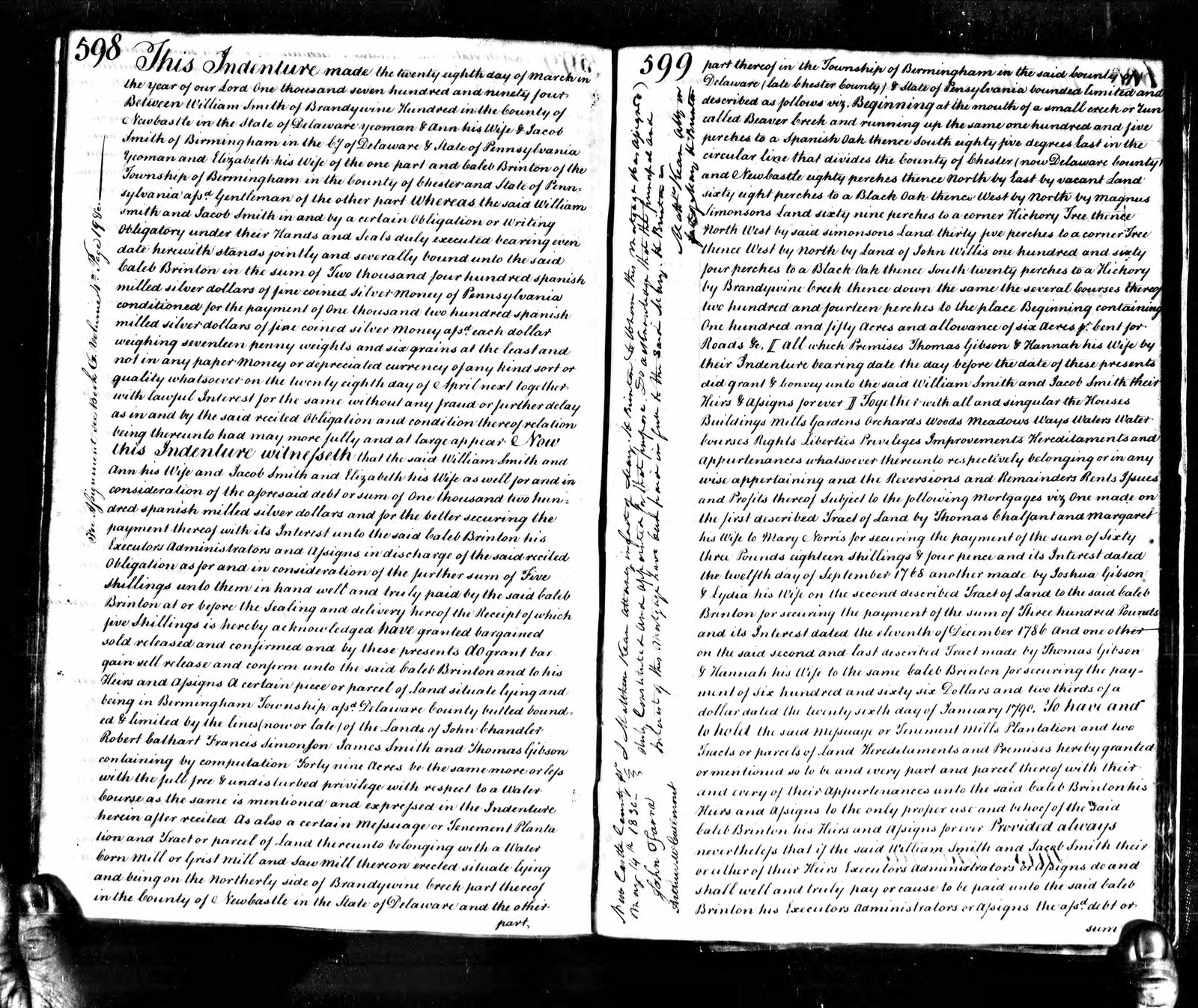
New Castle County deed book, pp. 598–599 — the March 1794 conveyance and the same-day mortgage to Caleb Brinton. The margin records the mortgage satisfied by attorney for the Brinton heirs; the instrument was recorded 14 May 1830.
1794–1857The Smith Mills
Isaac Smith ran a flour and grist mill, a sawmill, and a cider press at the crossing, and farmed the surrounding land. Frank Zebley’s Along the Brandywine (1940) records that “the mill and bridge get their names from Mr. Isaac Smith,” that he “conducted a large farm and each week sent his produce to Philadelphia by wagon,” and that after the Smiths the mill passed to Charles and James Twaddell for about fifty years, then to William T. Talley, whose son John H. Talley last operated it about 1900. The National Park Service’s survey of the Beaver Valley describes the Smith mill as the largest of the valley’s grist mills.
Isaac died in August 1857. His will directed the sale of “the Farm and Mill property on which I reside,” and his estate accounts record the result: Charles & James Twaddell, $12,562.80 — the documented end of the family’s tenure at the bridge.
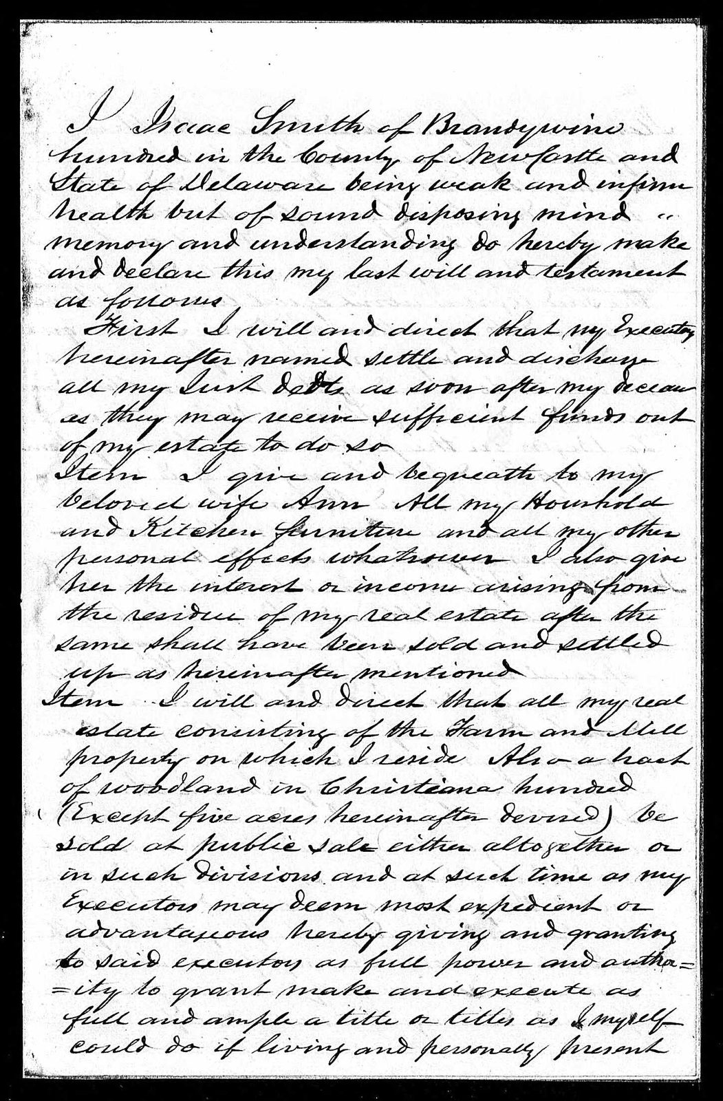
Will of Isaac Smith of Brandywine Hundred, 11 November 1856 — directing the sale of the farm and mill property. Probated 7 September 1857; the executors were his sons Louis and Edmund.
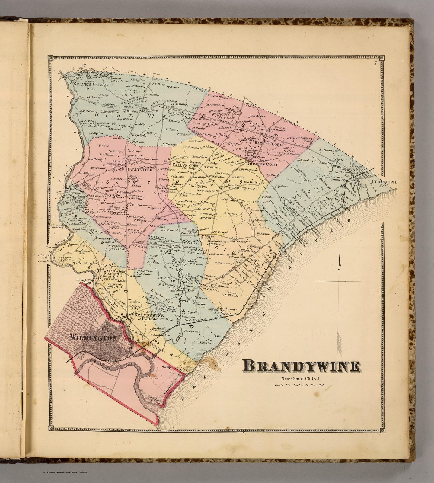
1816–1961The Bridges
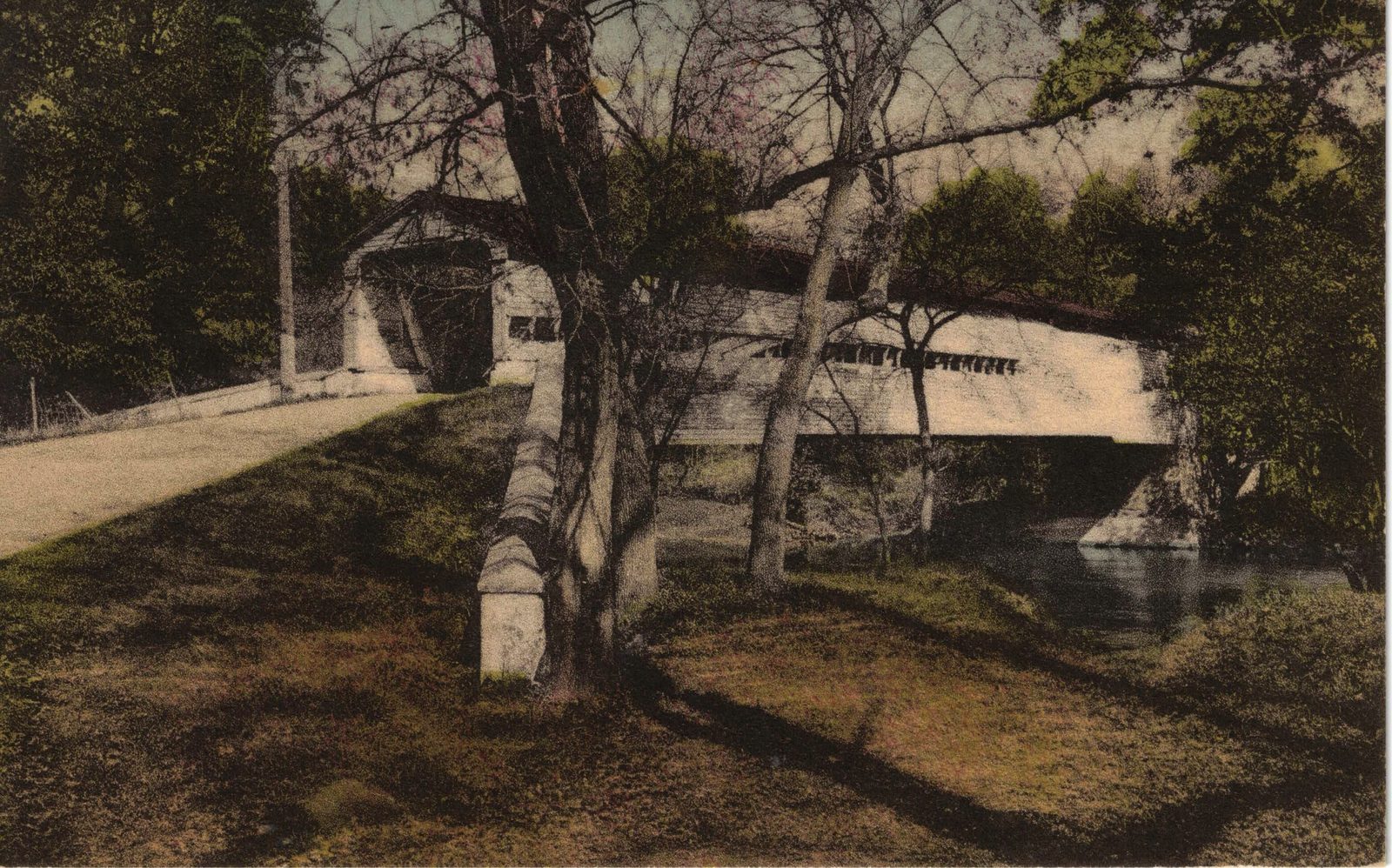
The first bridge at the crossing was built in 1816, during the Smith tenure; Zebley records it swept away by freshets in 1822 and again in 1828. The covered bridge that replaced it was built in 1839 — a single span of 154½ feet, according to the caption printed on the 1951 postcard below. It stood for over a century, was destroyed in 1961, and was succeeded in 2002 by the present covered replica.
Present dayThe Crossing Today
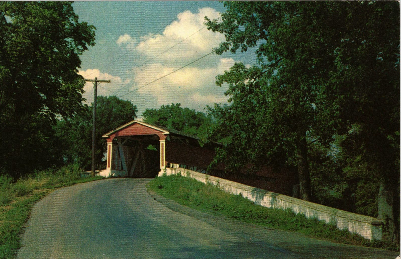
The 2002 replica is a single-lane covered span with an 11-foot clearance, carrying Smith Bridge Road over the Brandywine between Beaver Valley and the Delaware bank. The surrounding land on the Delaware side lies within the Beaver Valley tract of First State National Historical Park, whose boundary runs along Smith Bridge Road at the crossing’s corner. Two hundred and thirty years after the purchase, the family name is still printed on the road signs, the maps, and the bridge itself.